Mining exploration, the process of searching for valuable mineral deposits, relies on a variety of specialized equipment to gather essential data. Here are some of the key tools and technologies used in modern mining exploration:
Geophysical Exploration Equipment
- Magnetometer: Detects variations in the Earth’s magnetic field, which can indicate the presence of mineral deposits.
- Gravity Meter: Measures variations in the Earth’s gravitational field to identify density anomalies.
- Electromagnetic (EM) Equipment: Measures the electrical conductivity of the Earth’s subsurface to detect mineralized zones.
- Seismic Equipment: Uses sound waves to image the subsurface geology.
Geological Exploration Equipment
- GPS Devices: Used for precise navigation and mapping.
- Geological Compass: Measures strike and dip of rock layers and other geological features.
- Rock Hammer and Chisel: Used to collect rock samples.
- Hand Lens: Used to examine rock samples in detail.
- Geological Maps and Field Notebooks: For recording observations and data.
Drilling Equipment
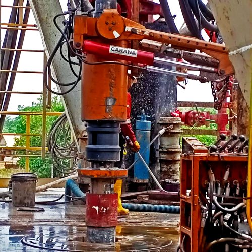
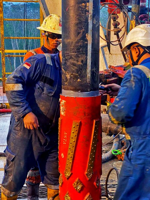
- Drill Rigs: Used to drill holes into the ground to collect rock samples.
- Core Drilling Equipment: Used to extract cylindrical cores of rock for analysis.
- Reverse Circulation Drilling Equipment: Used to drill holes and bring rock cuttings to the surface.
Sampling Equipment
- Rock Chip Hammers: Used to collect rock chip samples.
- Soil Sampling Equipment: Used to collect soil samples for geochemical analysis.
- Water Sampling Equipment: Used to collect water samples for geochemical analysis.
Laboratory Equipment
- Spectrophotometers: Used to measure the intensity of light absorbed or emitted by a sample.
- X-ray Fluorescence (XRF) Analyzers: Used to determine the elemental composition of a sample.
- Inductively Coupled Plasma Mass Spectrometry (ICP-MS): Used to measure the concentration of elements in a sample.
Additional Equipment
- Drones: Used for aerial photography and video, providing valuable data for mapping and geological interpretation.
- Satellites: Used for remote sensing to identify potential mineralized areas.
- GIS Software: Used to analyze and visualize spatial data.
The choice of equipment depends on the specific exploration objectives, the geological setting, and the budget available. By utilizing a combination of these tools and technologies, mining companies can efficiently and effectively explore for mineral deposits.


